AQUARIUS Funding Call – Marine and Freshwater Infrastructure Access: Open 02 September 2025 – 28 October 2025

Infrastructure Profile
Location
Constanta, Romania and Romanian Exclusive Economic Zone of Black Sea
Organisation & Address
GeoEcoMar, Bd-ul Mamaia 304, Constanta, Romania
Link to Infrastructure Schedules (if applicable)
NA
Normal Area of Operation
EuxRoOB01: 44.707169 N, 30.775499 E
EuxRoOB02: 44.317833 N, 30.416832 E
EuxRoOB03: 43.978001 N, 29.936668 E
Maximum Number of Days Available
60 days
Scientists’ Travel and Logistics (T&L) Budget Available
€ 2,500.00
Overview
Services & Sensors Available
• Dissolved oxygen
• Pressure
• Current
• Conductivity
• Temperature
• Chlorophyll
• Turbidity
• Weather
Depth of Operation
100 m
Power Supply
Solar panels
4×100 W @ 12 WDC
Battery: 4×80 Ah, Haze Battery (AGM Haze 12 V DC 80 Ah)
Dimensions & Weight
1800 mm/1.2 Tonnes
Data Acquisition and Communication Systems
Satellite transmission, Iridium
Scientific and Technical Specifications
General Information
IOSIN EMSO-EUXINUS is a regional in situ observation system, which monitors characteristics and dynamics of the coastal and offshore water bodies, including a number of meteorological parameters. It provides real-time data on the physico-chemical and biological parameters of the water column, at different depths, obtained from inner shelf located buoys and a coastal observatory from the West Black Sea.
The infrastructure offers a variety of services, such as data services, scientific services, engineer and logistic services and also direct Infrastructure access. Due to the experience of personnel involved, access to the infrastructure is done by many national and international users from scientific and industry communities.
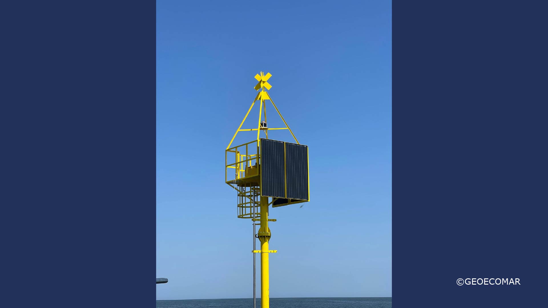
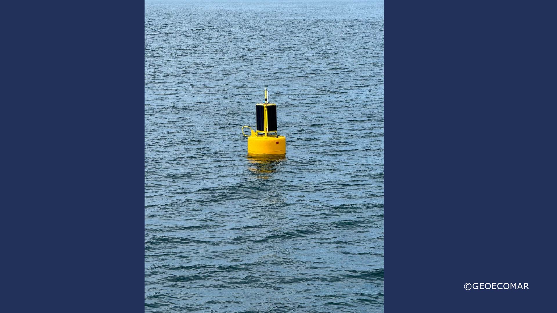
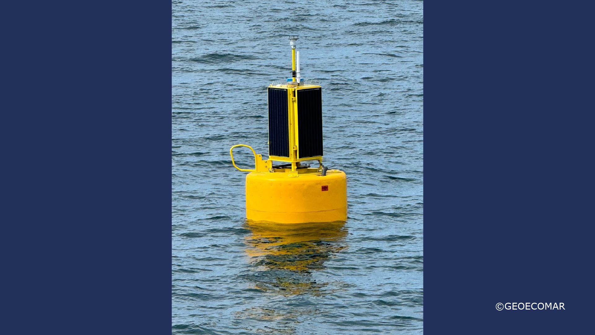
EMSO-Black Sea consists of three offshore moored observatories (EUXRoOB01, EUXRoOB02, and EUXRoOB03), each made of two main units: 1- a surface relay buoy, and 2- an underwater system on the seabed.
• The surface relay buoy (SRB) relays bi-directionally measurement data or commands between seabed and shore, through underwater acoustics and satellite. The buoy also holds a meteorological station at EUXRo01 and EUXRo03. An environmental monitoring instrument pack is mounted on the buoy at 5m depth at EUXRoOB01, EUXRoOB02, and EUXRoOB03. The auxiliary equipment of each SRB includes a communication box with GPS receiver, a radio link allowing full control of the buoy from a nearby ship, an iridium link with antenna for satellite data transmission to coordination centres, active and passive radar reflectors, an IALA signalling light, and four solar panels for recharging the batteries.
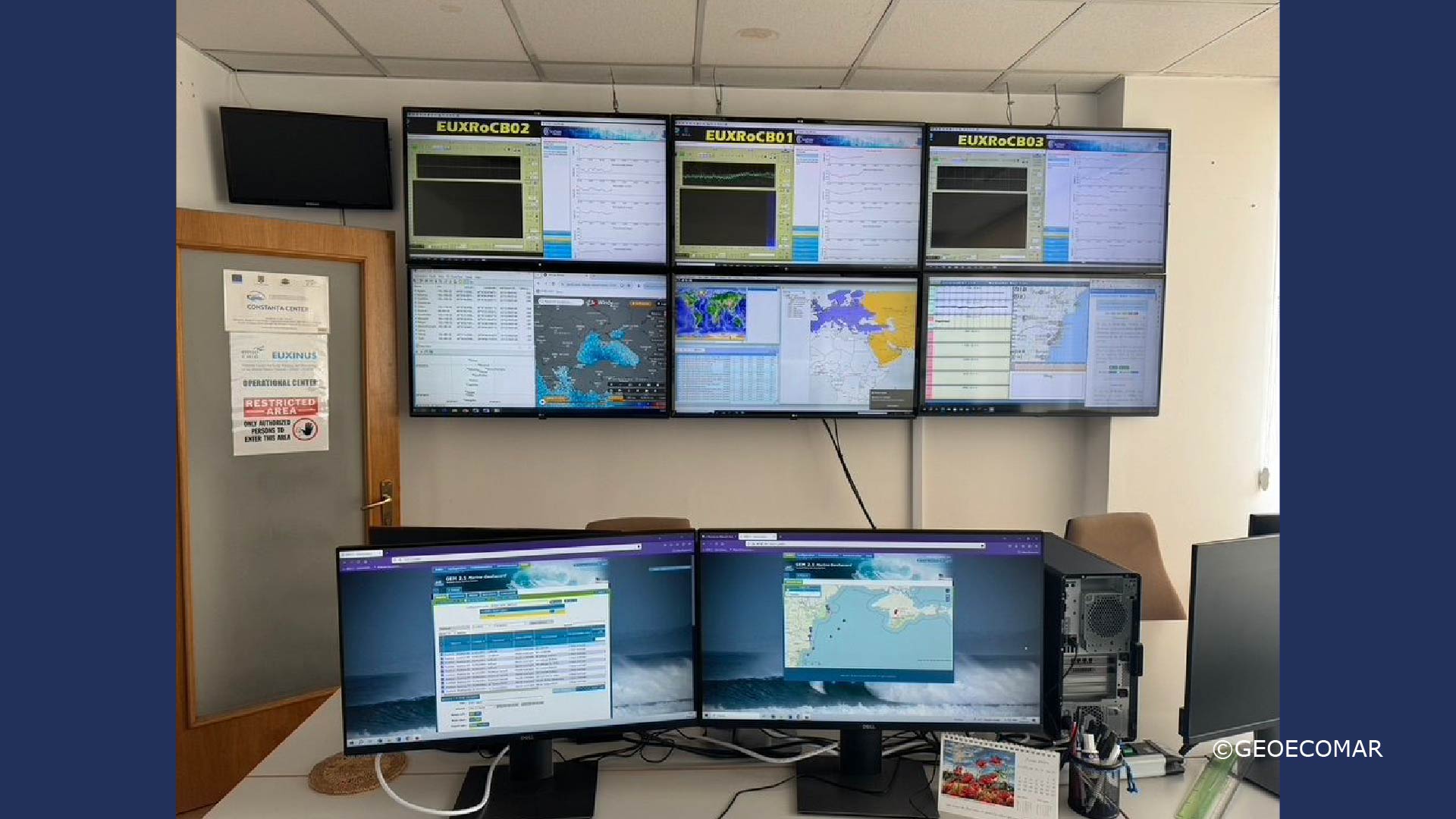
• The underwater system of each observatory is made of an environmental monitoring sensors package and an acoustic releaser. The all system relies on acoustic communication for transmitting the data to the SRB. The data are then transmitted simultaneous from the SBR to coordination centres located in Constanta (Romania).
All the infrastructure sensors are connected. The SRB and underwater instruments packages are switched on every hour and data are acquired, stored in the mass memory, and transmitted to the coordination centres, together with forecast data recorded in an hour.
Three coastal gauge, installed in front of the Mangalia, Constanta and Danube River, Romania at 15 m water depth, completes the observatory system.
Support offered to AQUARIUS users
Scientific support can be provided
Infrastructure Availability and Contact Details
Year 2025
February, March
Year 2026
March, April
Year 2027
April, May
Contact email for applicants to discuss the initial feasibility of their work while they prepare their application
vladr[at]geoecomar.ro
Certification and Clearance Requirements
Additional clearances/certification or documentation required for an area or type of activity
TBD
Additional training required
Provided by Infrastructure Operator


